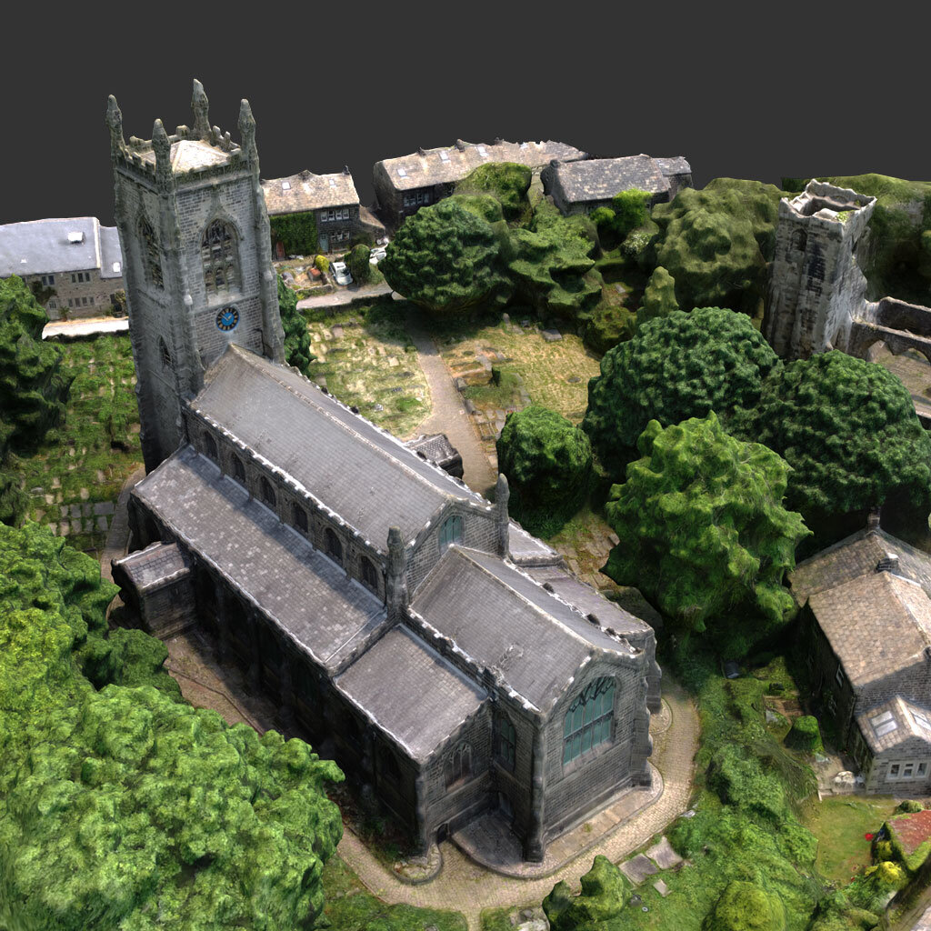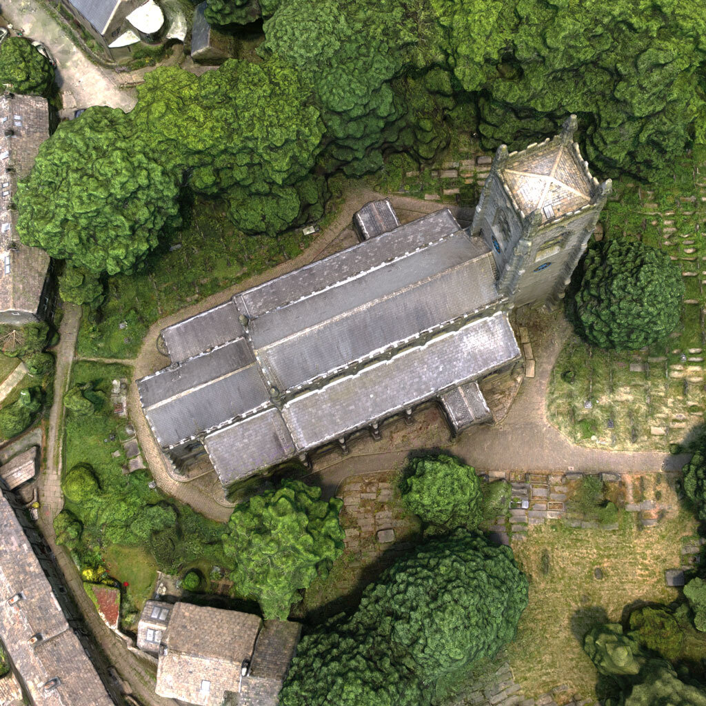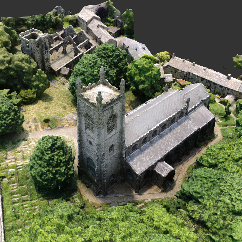

Drone Surveys
We are able to carry out detailed and comprehensive photographic drone surveys, providing you with high resolution imagery of your entire site - from large panoramic images to detailed close-ups of areas inaccessible on foot.
We are also able to use the captured images to create 3D photogrammetry models, giving you even more data to work with!
Explore your site from a different perspective

Examine every detail in 3D